Showing posts with label Hurtigruten Cruise. Show all posts

Tuesday, January 25, 2011

Maelstrom in Saltstraumen

IMG_4460 Saltstraumen inflatable boats


Can you imagine what 13 billion cubic feet of water rushing through an impossibly narrow, 500-foot-wide channel would look like? I couldn’t fathom it, but I was about to find out.

During our family vacation on the Hurtigruten Cruise in Norway, we signed up for the “Saltstraumen Safari” near the city of Bodø. This excursion promised to take us to Saltstraumen, the sound that connects the Saltfjord on the west and the much larger Skjerstadfjord on the east. When the tide tries to fill the Skjerstadfjord, up to 400 million cubic meters of seawater surges through the strait that is only 3 kilometers long and 150 meters wide.

View Norway in a larger map (use buttons on top left to zoom in or out)

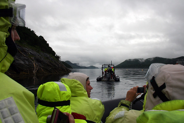
Our guide carefully checked to make sure we were all properly dressed in our fashion-forward waterproof gear and helped us into the inflatable rubber raft.
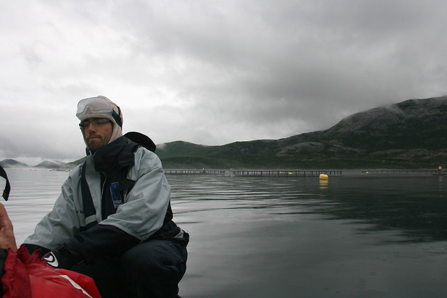
IMG_4466 Saltstraumen guide

To the passengers’ squealing delight, our boat driver opened up the engine full throttle as soon as we cleared the speed limit zone near the docks.

On the Norwegian Sea side of the buoys, the water was still quite calm...
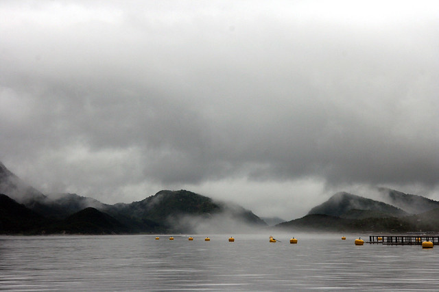
IMG_4465 Saltstraumen buoys

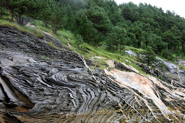
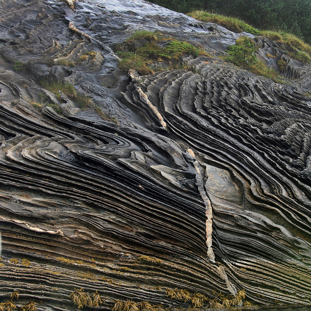
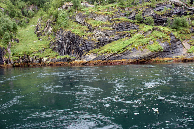
...but minutes later, we saw that the rock formations along the banks of the fjord bore clues to their turbulent past.


IMG_4455 saltstraumen scenery

IMG_4454 Saltstraumen scenery

As the channel narrowed, the teal blue water became more restless.

IMG_4472 Saltstraumen blue water

Four times daily, the current can gain speeds up to 22 knots (~40 km/hr or ~25 mph), making this the strongest tidal current in the world.
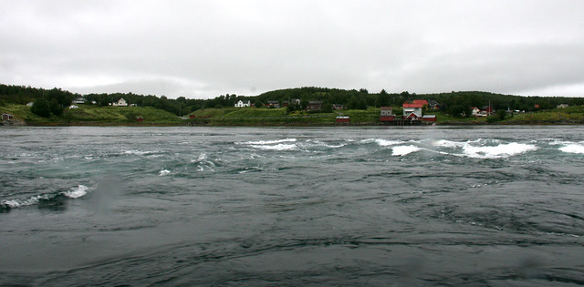
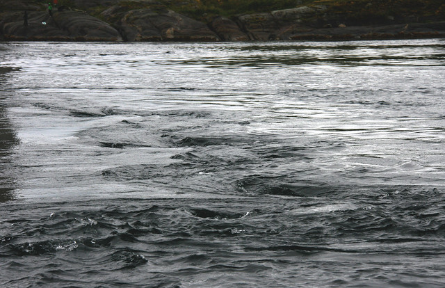
IMG_4490 Saltstraumen current

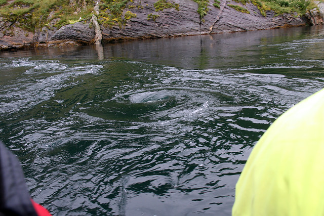
The topography creates powerful whirlpools also called Maelstroms.


IMG_4487 Saltstraumen maelstrom

We passed through when the current was turning and the water was deemed "navigable". During the peak, the vortices of the whirlpools can reach 10 meters (~30 ft) in diameter and 5 meters (~15 ft) in depth. The force of these maelstroms are capable of eroding holes in the rock bed that are over 40 meters (~130 ft) deep.

We all gasped when our guide told us that extreme scuba diving is a popular sport here.

It seemed contradictory to see the bucolic scenery along the banks, with hikers enjoying the delicate wildflowers and sidestepping roosting waterfowl.
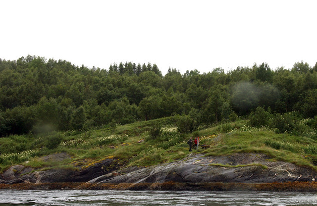
IMG_4498 Saltstraumen scenery

I was actively concerned for the safety of this black cow who looked like she could loose her footing on the slippery rocks at any moment.
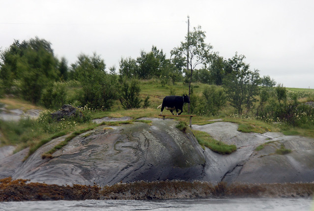
IMG_4500 cow at Saltstraumen

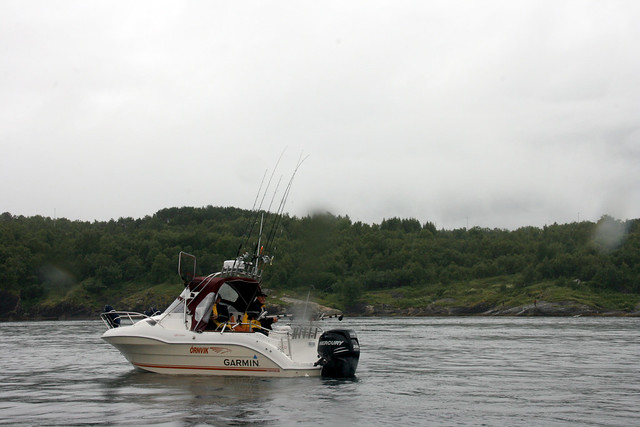
We saw many fishing boats with motors fit enough to get them out of most any maelstrom jams.

IMG_4513 Saltstraumen fishing boat

I know nothing of fishing but it looks like this boat is equipped with every kind of fishing rod imaginable, or are they backup rods in case they loose a battle in the vortex?
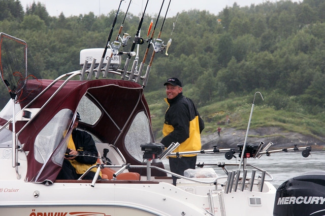

IMG_4514 Saltstraumen fishermen

We even saw one angler catch a fish, but they deemed it too small and tossed it back into the maelstrom. Anglers most commonly catch saithe and cod, but they can also expect to catch catfish, rose fish, trout, herring and halibut. Coalfish is the specialty of this area.

BTW, if you look closely, you can see that this small boat is powered by a 400 horsepower engine (!).


IMG_4515 Saltstraumen fishermen

Then it was time to jet back because the tide was gaining strength.
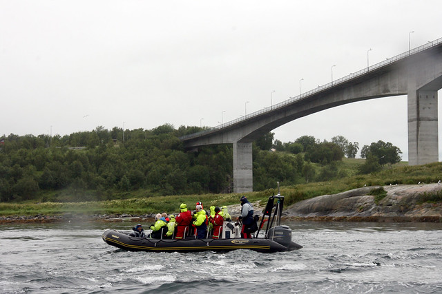
IMG_4493 Saltstraumen inflatable boat

***

UPDATE: Thanks to Cuban in London, I have found the riveting short story by Edgar Allan Poe "A Descent into the Maelstrom" (1841). Here is an excerpt:

In a few minutes more, there came over the scene another radical alteration. The general surface grew somewhat more smooth, and the whirlpools, one by one, disappeared, while prodigious streaks of foam became apparent where none had been seen before. These streaks, at length, spreading out to a great distance, and entering into combination, took unto themselves the gyratory motion of the subsided vortices, and seemed to form the germ of another more vast. Suddenly --very suddenly --this assumed a distinct and definite existence, in a circle of more than half a mile in diameter. The edge of the whirl was represented by a broad belt of gleaming spray; but no particle of this slipped into the mouth of the terrific funnel, whose interior, as far as the eye could fathom it, was a smooth, shining, and jet-black wall of water, inclined to the horizon at an angle of some forty-five degrees, speeding dizzily round and round with a swaying and sweltering motion, and sending forth to the winds an appalling voice, half shriek, half roar, such as not even the mighty cataract of Niagara ever lifts up in its agony to Heaven.

The full story is here.
***

UPDATE: November 4, 2014.

One of the photos in this Flickr set was posted by tahoe_miner_174  on reddit, which inspired a spirited geological discussion here, It included a depiction, by mjackl, of the four major deformation events:


***

I will close with two videos. The first gives a brief look at the maelstrom in action.


This second video was taken by some brave divers.


Thursday, January 13, 2011

The North Cape in the Land of the Midnight Sun


IMG_4899 Nordkapp


After our brief stop at the Sami trading post, we re-boarded the bus to reach the famous headland on the island of Magerøya named the North Cape of Norway.

English Explorer  Richard Chancellor named this point in 1553 when he passed the cape during his search for the Northeast PassageNordkapp is the Norwegianized form of the English name.

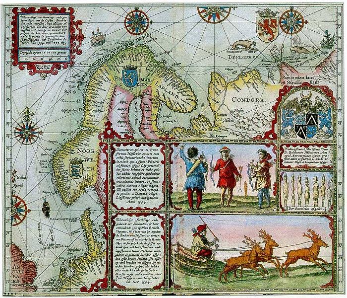
The North Cape is the point where the Norwegian Sea, the Atlantic Ocean, the Arctic Ocean, and the Barents Sea all converge. The Barents Sea was named after Dutch explorer and cartographer Willem Barentsz. This enchanting depiction is from the journal of fellow cartographer Jan Huyghens van Linschoten who joined Barentsz during his first two attempts at finding the Northeast Passage in 1594.

Source: Wikipedia
When I was in elementary school in Amsterdam, I learned about Barentsz’s tragic death at sea. I even had a jigsaw puzzle illustrating his quest. A nice summary of Barentsz's adventures can be found here at the website with the very intelligent name godutch.com. 

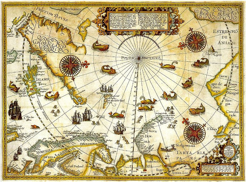
Barentsz remarkable map of his third attempt in 1597; it was published two years later. 


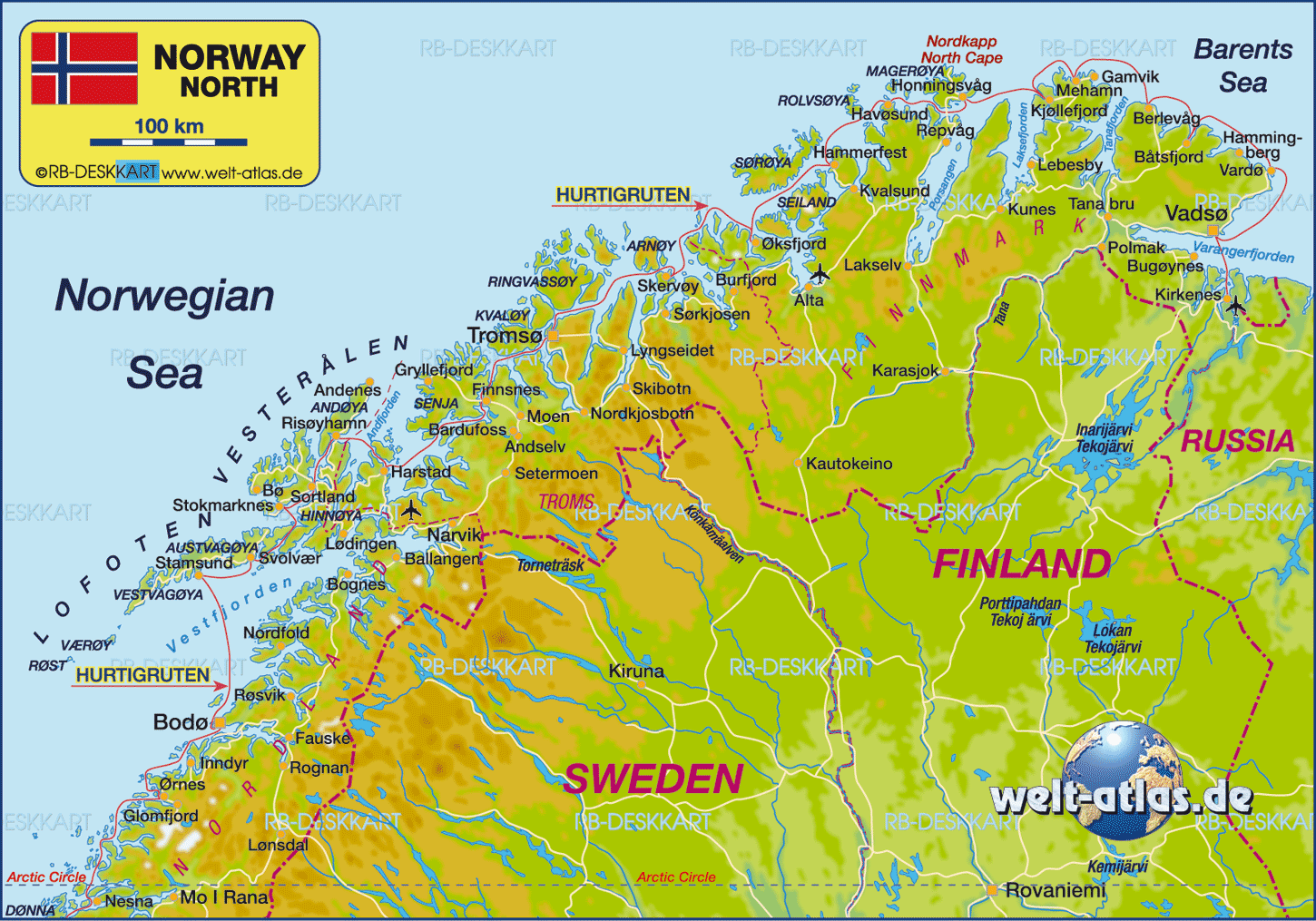
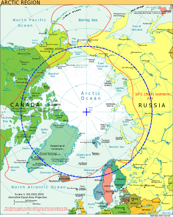
This modern, less fanciful, map shows the red Hurtigruten route we sailed on the “MS Midnatsol”. The North Cape is labeled, also in red, at the top of this map.

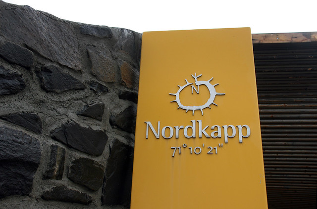
The North Cape is at latitude 71 degree, 10 minutes, and 21 seconds, just over a couple of thousand kilometers south of the North Pole. To give a frame of reference,  San Francisco is at latitude 38 north and London is at 51.


IMG_4878 Nordkapp 71 degrees 10 minutes 21 seconds

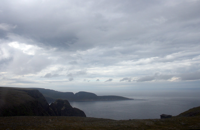
The North Cape's headland overlooks a barren, yet picturesque landscape. On this grey day, it was difficult to differentiate between the sky and the horizon.

IMG_4921 North Cape

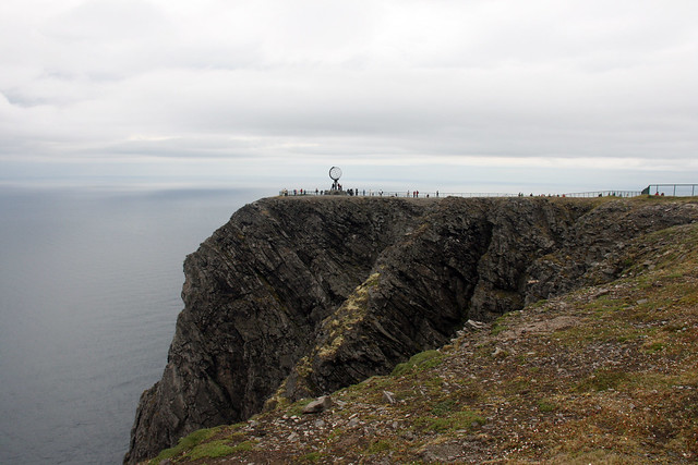
The steep cliff rises 307 meters ( 1,007 feet) above the sea...

IMG_4891 Nordkapp

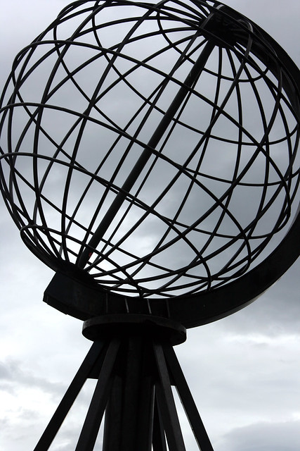
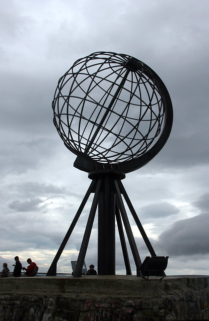
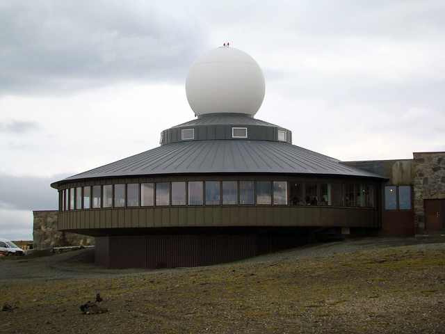
Today’s most iconic image of the North Cape is the globe that was built in 1978.

IMG_4915 Nordkapp


IMG_4898 Nordkapp

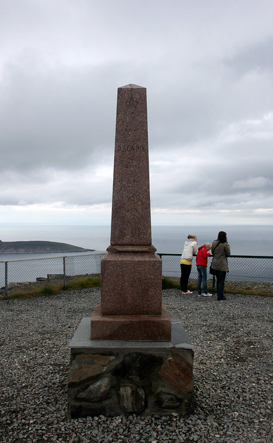
Daring explorers have scaled the walls of cliffs of the North Cape over the years. This spire commemorates the visit of King Oscar II of Sweden and Norway in 1873. 

IMG_4910 North Cape King Oscar II spire


In 1956, a road was built to give easier access to this famous landmark. The North Cape Hall houses the elaborate tourist center...

DSC07828 Nordkapp

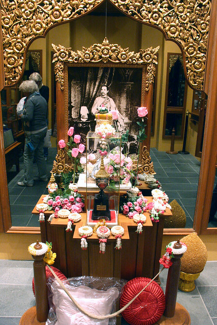
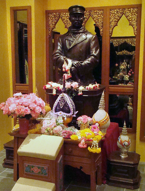
...which features full-scale dioramas of scenes of the journey and arrival of King Oscar II.  A Thai temple and shrine honor Thailand's King Chulalongkorn's visit in 1907.

IMG_4886 nordkapp shrine thai kingDSC07835 Nordkapp shrine

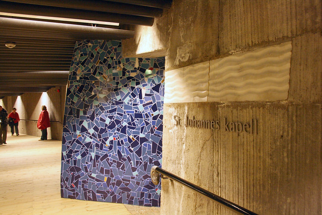
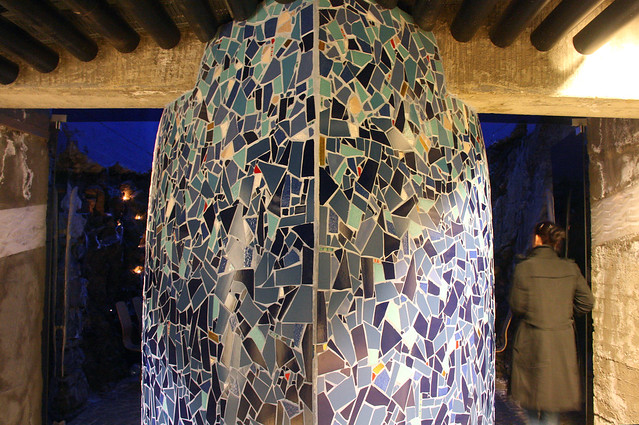
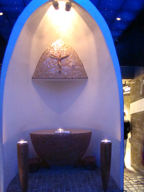
The ecumenical chapel  St. Johannes Kapell...

IMG_4888 st johannes kapell

...has a beautiful mosaic entry shaped like the bow of a ship.

IMG_4887 nordkapp kappel ship's bow mosaic

...which is an altar with an opalescent mosaic on the inside.

DSC07834 Nordkapp Chapel altar

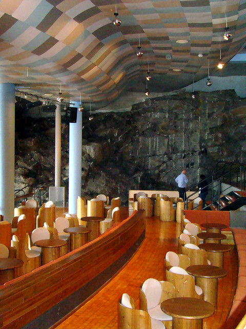
A full bar, with its unique architecture and furniture that blends into the environment, allows you to take in the view while sheltered from the elements. 

DSC07836 Nordkapp restaurant ceiling

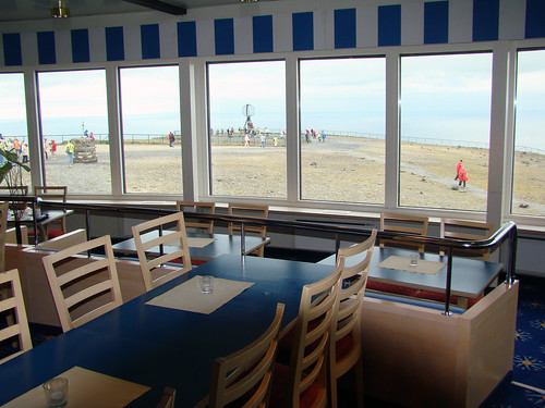
We had soup and an open-face sandwich in the nautically-decorated cafeteria.

DSC07831 Nordkapp from cafe

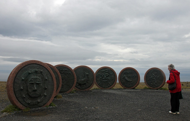
We had time to briefly visit the Children of the Earth Monument...

IMG_4903 North Cape Children of the Earth monument


...before our bus ride back to our ship.

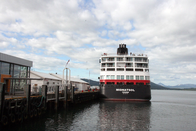
IMG_4588 Midnatsol


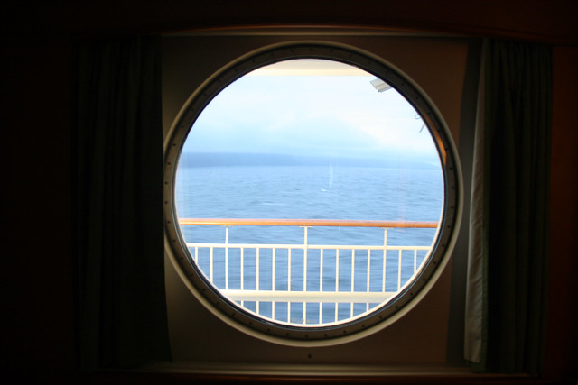
“Midnatsol” is the word for “midnight sun” in Norwegian. The midnight sun can be seen from the North Cape between May 14 and July 29. We were at the Cape on August 2nd, so technically the sun did set, but I certainly did not witness it. I remember waking up in the middle of the night curiously looking out our porthole. Though this was taken a few hours earlier, it looked very similar at three in the morning. 


IMG_4946 Midnatsol porthole

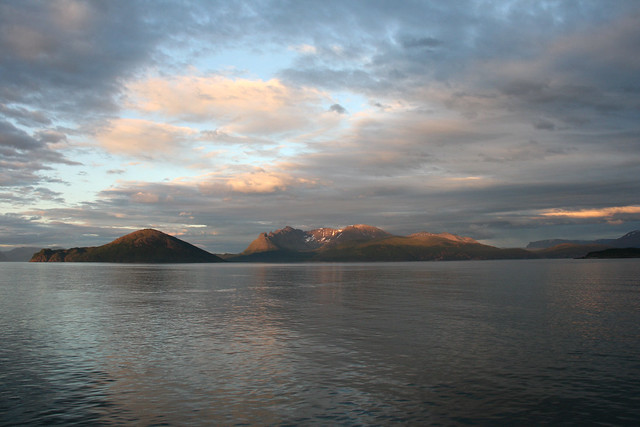
I took this picture from the ships deck the night before, when we were still at the 70th parallel north.

IMG_4739 from the Midnatsol

After seeing the beauty of the sun’s light in this part of the world, I can understand why the midnight sun has been a major inspiration for literature, music, and countless paintings.
Enhanced by Zemanta

Thursday, January 6, 2011

The Sami People of Nordkapp

IMG_4835 Nordkapp

This summer we took a cruise on the Norwegian passenger and freight line Hurtigruten ("Express Route" in English) We boarded the "Midnatsol" in Bergen and sailed for one week up to Kirkenes.  One of the last stops of our voyage was the North Cape (Nordkapp), located well north of the Arctic Circle.

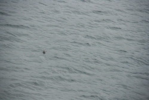
One of the surprises on this cruise is that I did not spot more birds along the way. I fully expected to see many breeding grounds along the coastline, but it was surprisingly bare. I was therefore on high alert when I saw a few small dots bobbing in the water about an hour before we docked.


IMG_4822 puffin at nordkapp uncropped

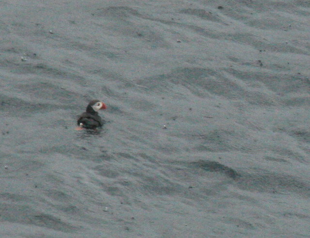
A closer examination revealed that these dots were puffins. Not a great picture, but it's the only one I have.

IMG_4822 puffin at nordkapp
Atlantic Puffin (Fratercula arctica)

I had the option to take the bird safari excursion, where I would have been able to see large flocks of puffins and kittiwakes and even the mighty sea eagles, but ultimately I chose to join the rest of my family on the bus tour to see the North Cape (Nordkapp), 21 miles away, on the north side of the island of Magerøya

We docked in Honningsvåg, which claims to be the northernmost city in Norway, or even the world, but there are several other cities who dispute this claim. The village was occupied by the Germans in World War II; sadly, only the chapel was spared destruction. After the war,  many of the houses were restored to their original style, using the original color scheme. Historically, white was the most expensive paint color and therefore the most prestigious. Prestige or not, the white houses would not look as pristine and idyllic were it not for the occasional red and yellow structures against the bright green grass. 

IMG_4826 on the way to Nordkapp

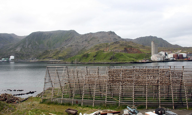
We boarded a bus that drove us past the traditional fish racks which still had cod drying in the sun before winter sets in. 

IMG_4932 Nordkapp fish racks

We saw many more racks on the hillsides, but they had already been picked bare. 

IMG_4847 Nordkapp fish racks

The bus careened along the winding roads across the bald sub-arctic landscape of the island.

IMG_4840 Nordkapp bus view

Periodically the bus driver would point out reindeer grazing on the short grass. See if you can spot the stag and three does below. Don't worry if you can't, I had trouble seeing them too. If you're hell-bent on seeing them, you can click here . Fortunately, we did get the opportunity to see more reindeer up close only a few minutes later.


IMG_4837 Norkapp bus view

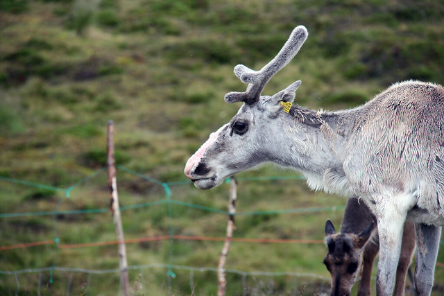
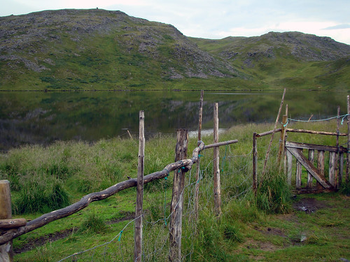
Only the indigenous people called the Sami (also spelled Sámi, or Saami) are allowed to practice reindeer husbandry in Norway. Magerøya Island can boast 5,000 reindeer, all owned by five Sami families. The reindeer are allowed to roam freely, with only minimal fencing to keep them from harm. 

DSC07820 Nordkapp fence

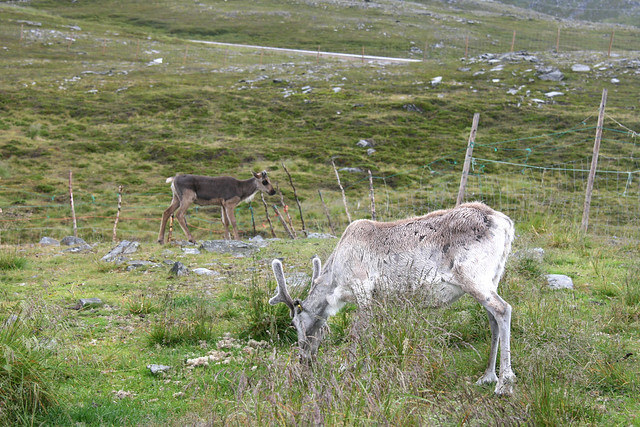
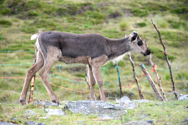
The tags in the ears of the reindeer indicate ownership. 

IMG_4858 reindeer numer 1069
Reindeer (Rangifer tarandus)

IMG_4855 reindeer

IMG_4854 reindeer

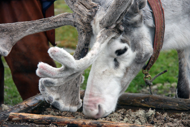
Both males and females grow antlers.  I was amazed how fuzzy they were (no, I did not touch them). 
IMG_4870 reindeer

To save energy, they shed them annually. On our way back to the ship, we found shed antlers offered for sale in a small Sami shop near the ship.

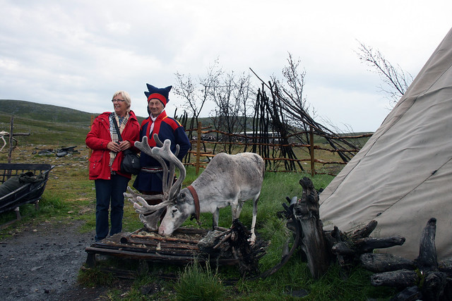
The bus stopped at a Sami trading post where a Sami posed with tourists in his colorful native costume. It is not difficult to imagine the seed of inspiration for Santa's elves' costumes.
IMG_4851 reindeer photo op

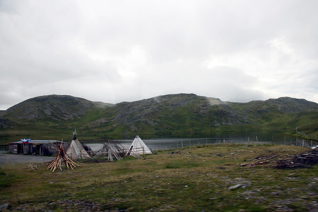
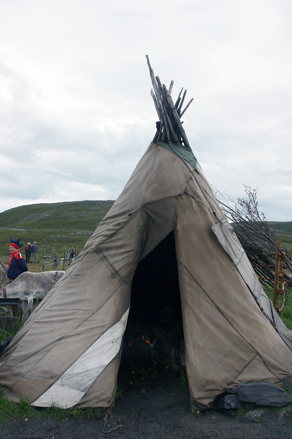
The Sami use a temporary shelter, called a lavvu, which is strikingly similar to the teepees of Native Americans of the Great Plains. The portability of this structure allows the herdsmen to follow their reindeer.
IMG_4930 Sami Trading Post


IMG_4867 saami tent

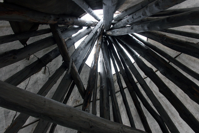
Traditionally the reindeer hides were used as a cover, but now lighter fabrics are used to lighten the load. The long straight poles to construct these dwellings must be prized because tall vegetative growth appears to be scarce in this region. To our surprise there was an open fire inside, but the smoke easily escapes from the smoke hole at the top. 

IMG_4865 saami tent

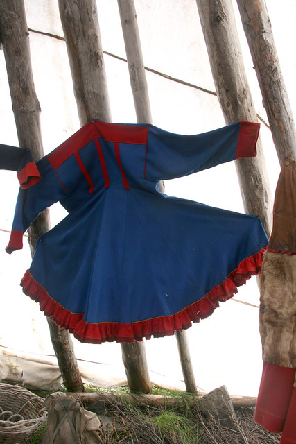
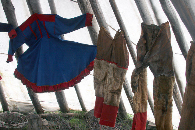
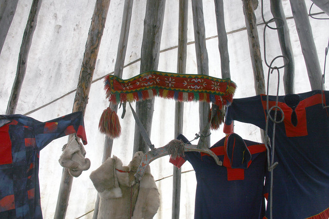
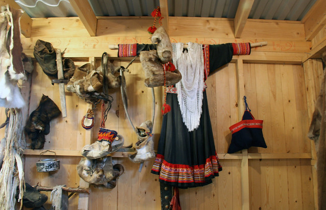
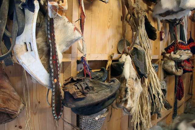
The interior walls were decorated with the gorgeous native attire made with generous yardage and elaborate workmanship. I can imagine how fantastic these crisp, bright colors would look in the stark white snow. 

IMG_4861 saami costume

The trousers are made of reindeer hides.

IMG_4863 saami costumes

IMG_4864 saami costumes

The style and colors used in these these garments appear to be a perfect blending of Scandinavian, Russian, and Northwest Indian cultures.  Not surprising, given that all these descend from within the Arctic Circle and the nomadic nature of the Sami people. 

Many Sami regard the term Laplander as a pejorative term. In most Scandinavian languages the word "lap" means a patch of cloth used for mending. Where one culture used a scrap of fabric out of necessity, one could see how it may be difficult to understand that another culture used them as artistic adornments. 

We had only a few minutes to take a look at the goods offered in the trading post. My sister is to be commended for finding and purchasing a splendid black wool shawl for our mother in less than five minutes.

IMG_4873 saami costumes

IMG_4874 saami accessories


The Sami people suffered from laws of forced assimilation into the Norwegian culture, which peaked from 1900 to 1940 when anyone who wanted to buy or lease state lands for agriculture in the county had to have knowledge of the Norwegian language and register with a Norwegian name.

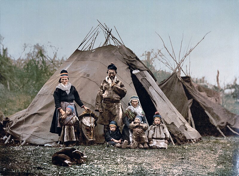
Sami Family, 1900, Source: Wikipedia

Despite these pressures and other draconian practices since the nineteenth century, the Sami prevailed. The pressures to chip away at their colorful culture is now coming from all around the globe.

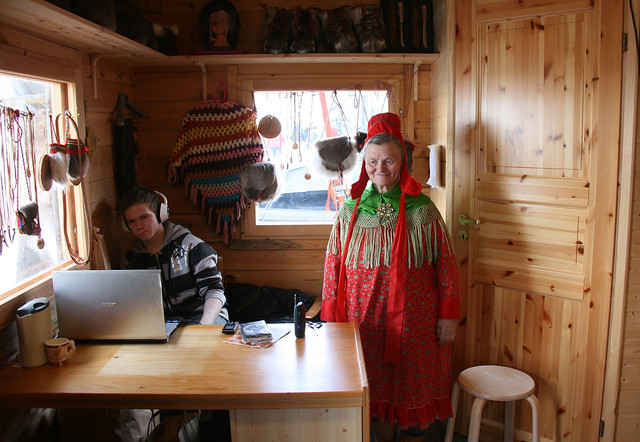
IMG_4938 Nordkapp Saami vendor and teen

I dearly hope that the Sami culture continues to prevail so that the world can enjoy their artistry. 
Enhanced by Zemanta
Related Posts Plugin for WordPress, Blogger...
Bookmark and Share